Google has long been at the forefront of integrating sustainability into its operations and services. In 2021, the tech giant unveiled plans to incorporate more eco-friendly choices across its platforms, including Maps, Travel, Search, and Nest. This initiative aimed to empower users with information that encourages sustainable living and environmentally conscious decisions.
In subsequent years, Google continued to expand its sustainability efforts by adding new features to its services. For instance, in 2022, Google Maps introduced a feature allowing users to easily locate electric vehicle stations equipped with fast chargers. This move aimed to support the adoption of electric vehicles, which play a crucial role in reducing greenhouse gas emissions from the transportation sector.
Additionally, in 2023, Google enhanced its Maps platform with three new sustainable tools. These tools were designed to map rooftop solar potential, monitor air quality, and track pollen levels. By leveraging artificial intelligence, machine learning, environmental data, and aerial imagery, Google provided users with valuable environmental information that can help them make informed decisions.
MethaneSAT: A Game-Changing Satellite
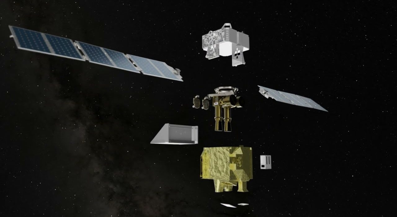
MethaneSAT is a groundbreaking satellite designed to monitor methane emissions across the globe. Launched into space, the satellite orbits the Earth 15 times a day at an altitude of over 350 miles. Equipped with advanced technology, including a supercomputer-powered AI system, MethaneSAT can identify methane sources and calculate emissions with remarkable accuracy.
The satellite’s capabilities extend beyond simply detecting methane emissions. It can monitor both high-emitting methane sources and dispersed small sources spread over a wide area. This comprehensive monitoring capability makes MethaneSAT a valuable tool in the fight against climate change, as methane is a potent greenhouse gas with a high heat-trapping potential.
Collaboration with the Environmental Defense Fund (EDF)
Google’s collaboration with the Environmental Defense Fund (EDF) and MethaneSAT amplifies the impact of their individual efforts. The goal of this partnership is not only to identify methane sources but also to make this valuable information publicly available to stakeholders around the world.
Google and EDF are working together to provide cloud and mapping services that enable faster data processing, access, and visualization. This collaboration enhances the global oil and gas infrastructure database, allowing for precise tracing of emission data to identified facilities.
Advanced Data Processing with Google AI
Google’s AI capabilities play a crucial role in processing and analyzing the vast amounts of data collected by MethaneSAT. The supercomputer-powered AI system can calculate methane emissions in specific locations and track the spread of pollutants in the atmosphere.
By combining satellite imagery with environmental data, Google AI can tag specific points like oil storage containers. This advanced data processing capability helps to pinpoint the exact location of methane emissions and identify the sources contributing to global methane levels.
Importance of Monitoring Methane Emissions
Monitoring methane emissions is crucial for several reasons. Methane is a potent greenhouse gas with a much higher heat-trapping potential than carbon dioxide over a shorter time frame. Major sources of methane emissions include agriculture (such as livestock digestion and rice cultivation), landfills, and fossil fuel extraction (particularly natural gas leaks).
According to the International Energy Agency, methane concentration in the atmosphere is currently around two-and-a-half times greater than its pre-industrial levels, and these numbers continue to rise. Rising methane levels contribute significantly to global climate change, leading to increased risks of wildfires, droughts, and other extreme environmental events.
Addressing Challenges in Methane Monitoring
Despite the importance of monitoring methane emissions, tracking and pinpointing these emissions can be challenging due to their dispersed nature and varying sources. MethaneSAT, Google AI, and EDF are working together to bridge this gap by developing new technologies and tools that can help reduce methane emissions more effectively.
The collaboration between MethaneSAT and Google AI enhances the ability to anticipate and mitigate emissions from oil and gas infrastructure, which are generally most susceptible to leaks. By leveraging advanced satellite technology and AI capabilities, the partnership aims to make significant strides in reducing methane emissions and combating climate change.
Conclusion: A Step Towards a Cleaner Planet
The collaboration between Google, MethaneSAT, and the Environmental Defense Fund represents a significant step forward in addressing methane emissions and combating climate change. By leveraging advanced technologies such as AI and satellite imagery, the partnership aims to provide valuable insights into methane sources and emissions.
Google’s ongoing commitment to sustainability, combined with its collaboration with EDF and MethaneSAT, demonstrates a strong dedication to creating a cleaner and healthier planet. Through their collective efforts, they are paving the way for more effective methane emission reduction strategies and contributing to global efforts to mitigate the impacts of climate change.
The innovative partnership between Google, MethaneSAT, and EDF showcases the potential of technology to drive positive change and address environmental challenges. By working together, these organizations are making strides towards a more sustainable future for all.